
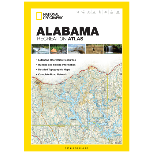
National Geographic State Recreation Atlas
-
Detail
Agreatchoiceforoutdoorsmenheadingtoanewareaforoutdoorfun,aNationalGeographic®StateRecreationAtlasmakesaneasy-to-useresourceforsportsmen.Packedwithinformation,eachatlascomespackedwithmapsforthestate,alongwithinformativerecreationguidesandrelevantrecreationalandsportinginformation.Agreatplanningtoolforupcomingtrips,theseatlasesincludeup-to-datetopographicmaps,acomprehensive,clearlylabeledroadnetwork,informativerecreationguides,andadetailedindex.Eachmappagefeaturesaconvenientmaplegend,easy-to-readpagenumbers,alatitudeandlongitudegridforusewithGPS,boldboundariesforparksandfederallands,andclearlylabeledlakes,rivers,andstreams.Eachatlasmakesagreatresourcetofindanyrecreationactivityfromhuntingandfishingtocamping,golfing,hiking,andmoreinastate.10.75"Wx15.5"H.
- Info-packed,state-wideroadatlas
- Easy-to-useresourceforsportsmen–greatforplanningfishingandhuntingtrips
- Up-to-datetopographicmaps
- Comprehensive,clearly-labeledroadnetworkmaps
- Informativerecreationguides
- Mapsincludeboldboundariesforparksandfederallands,andclearlylabeledlakes,rivers,andstreams
- Manystatesavailable
-
Customer ReviewsNo comments
You May Also Like

Starlink Standard Kit
SPOT Gen4 Satellite GPS Messenger
SPOT Trace Motion-Activated Tracking Device
SPOT X 2-Way Bluetooth Satellite Messenger
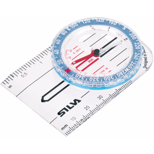
Silva Starter 1-2-3 Compass
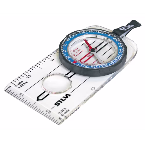
Silva Guide Explorer 2.0 Compass
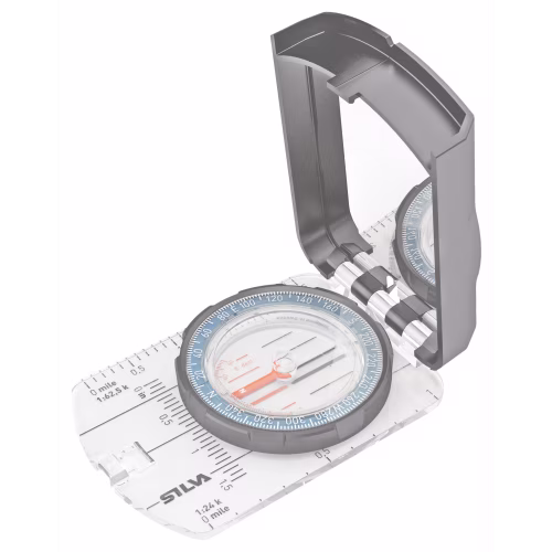
Silva Guide 2.0 Compass
onXmaps HUNT State Maps Micro SD Card


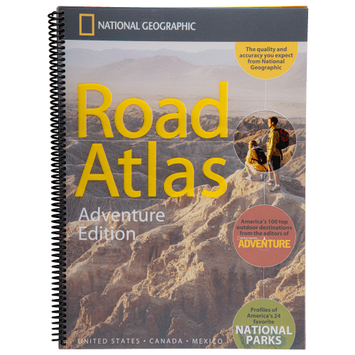
National Geographic Road Atlas: Adventure Edition


