

National Geographic Fishing and River Recreation Map Guide Series Maps
-
Detail
FishsmarterwiththehelpoftheinformationpackedinsidetheNationalGeographic®FishingandRiverRecreationMapGuideSeriesMaps.Eachoneincludesdetailedrivermapsatascaleof1"foreveryhalfmile.Atthisscale,everybendandrapidofthewaterwayisclearlyshownandlabeledforeasytripplanningandnavigation.Everypageiscenteredontheriverandoverlapswiththeadjacentpage,lettingyoufindanylocationwithease.AfullUTMgridhasbeenprintedonthemapaswelltoaidinGPSnavigation.Eachregionalfishingandrivermapcomeswithanintroductionwrittenbyalocal,professionalangler,descriptionsoffishingstrategies,anddetailsaboutseasonalfluctuations.Alsofeaturerivermiles,streamflowcharts,hatchcharts,atableofriveraccesspoints,privateandpubliclands,gagingstations,recreationsites,andmore.Thebookletformatismoreconvenientthantraditional,fold-outmapsbutjustastravelfriendlyandeasytoread.Printedon"BackcountryTough"waterproofandtear-resistantpaperandsecuredwithstainlesssteelstaplesforoff-the-beaten-pathdurability.
- Detailedrivermapsatascaleof1"foreveryhalfmile
- Clearlyshowseverybendandrapidintheriver
- Everypageiscenteredontheriverandoverlapswiththeadjacentpage
- FullUTMgridonthemapforeffortlessGPSnavigation
- Introductionwrittenbyalocal,professionalangler
- Containsdescriptionsoffishingstrategiesandseasonalfluctuations
- Includesrivermiles,streamflowcharts,hatchcharts,riveraccesspoints,privateandpubliclands,gagingstations,recreationsites,andmore
- Convenientbookletformatistravelfriendlyandeasytoread
- Printedon"BackcountryTough"waterproofandtear-resistantpaper
- Securedwithstainlesssteelstaples
-
Customer ReviewsNo comments
You May Also Like
Starlink Standard Kit
SPOT X 2-Way Bluetooth Satellite Messenger
SPOT Gen4 Satellite GPS Messenger
SPOT Trace Motion-Activated Tracking Device
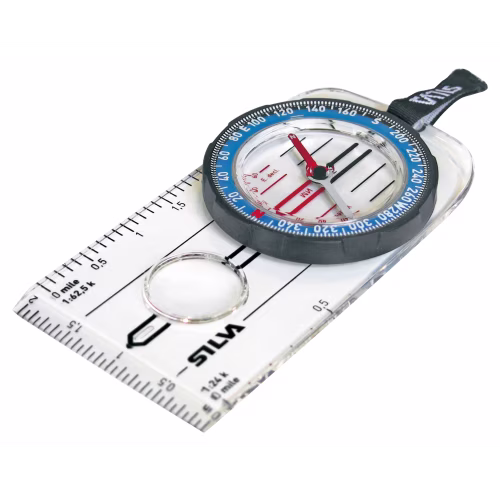
Silva Guide Explorer 2.0 Compass
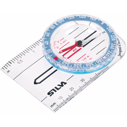
Silva Starter 1-2-3 Compass
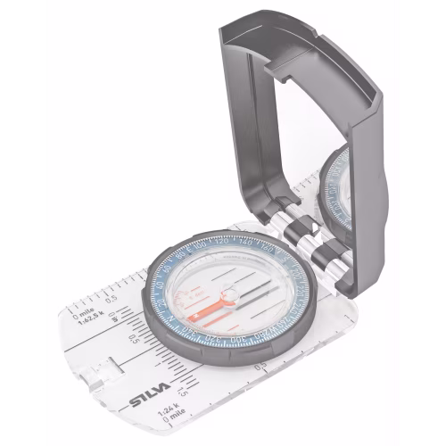
Silva Guide 2.0 Compass
onXmaps HUNT State Maps Micro SD Card

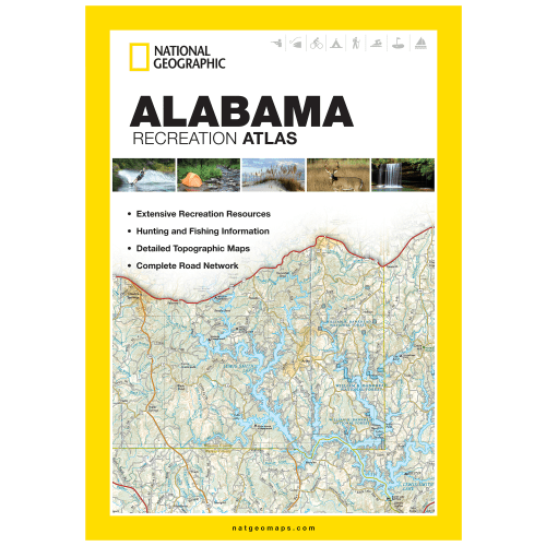
National Geographic State Recreation Atlas

National Geographic Road Atlas: Adventure Edition


National Geographic Large Trail Wall Map in Gift Box


