

National Geographic Glacier and Waterton Lakes National Parks Map
-
Detail
TheNationalGeographic®GlacierandWatertonLakesNationalParksMapoffersunparalleleddetailforoutdoorenthusiastsexploringthepristinelandscapeofforests,mountains,lakes,andmeadowswithinthese2spectacularparks.Createdinpartnershipwithlocallandmanagementagencies,thisexpertlyresearchedNationalGeographicmapfeatureskeyareasofinterestincludingManyGlacier,GreatBearWilderness,FlatheadNationalForest,HungryHorseReservoir,LakeMcDonald,FlatheadRiver,St.MaryLake,Akamina-KishinenaProvincialPark,andtheWatertonLakes.TheGlacierandWatertonLakesmapisaninvaluableresourceforexploringthemorethan800milesofmappedtrailswithintheparks,includingthePacificNorthwestTrail,theContinentalDivideTrail,andrecommendedbikingtrails.Recreationfeaturesareclearlymarked,includingcampgrounds,trailheads,interpretivetrails,fishingandboataccess,andhorserentallocations.Themapbaseincludescontourlinesandelevationsforsummits,passes,andmajorlakes.Avarietyofhelpfulinformationincludesrecreationactivitiesavailableintheparks,hikingandbackcountrycamping,regulations,andsafetytips.ThisTrailsIllustratedmapisprintedon"BackcountryTough"waterproof,tear-resistantpaper.AfullUTMgridaidswithGPSnavigation.OtherareasonthismapincludeApgarMountains,BowmanLake,FlatheadNationalForest,FlatheadRange,Glacier,GreatBearWilderness,KintlaLake,LakeMcDonald,LakeSherburne,Lewis&ClarkNationalForest,LewisRange,LivingstonRange,LowerSaintMaryLake,MountCarter,MountCleveland,MountSaintNicholas,MountStimson,SaintMaryLake,UpperWatertonLake,andWhitefishLake.Flat:37.75"Lx25.5"W.Folded:9.25"Hx4.25"W.
Manufacturermodel#:TI00000226.- Finedetailofkeyareasofinterest
- Campgrounds
- Trailheads
- Interpretivetrails
- Fishingandboataccess
- Horserentallocations
- Contourlinesandelevationsforsummits,passes,andmajorlakes
- Helpfulinformationaboutparks,hikingandbackcountrycamping,regulations,andsafetytips
- "BackcountryTough"waterproof,tear-resistantpaper
- FullUTMgrid
-
Customer ReviewsNo comments
You May Also Like
Starlink Standard Kit
SPOT X 2-Way Bluetooth Satellite Messenger
SPOT Gen4 Satellite GPS Messenger
SPOT Trace Motion-Activated Tracking Device
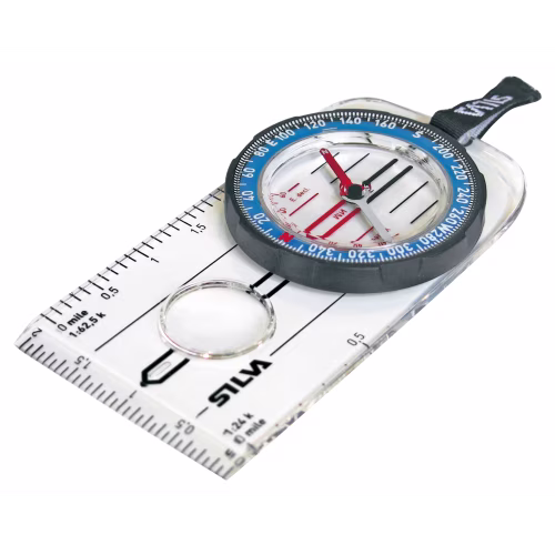
Silva Guide Explorer 2.0 Compass
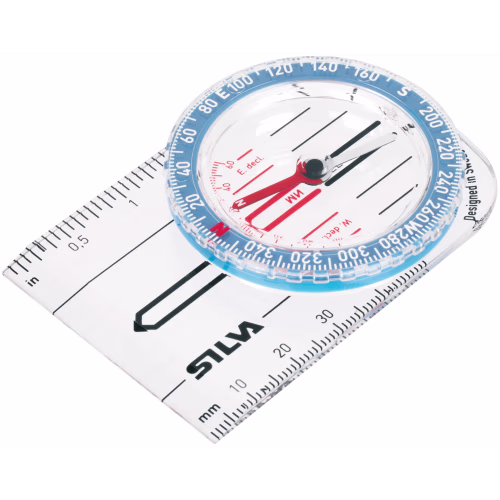
Silva Starter 1-2-3 Compass
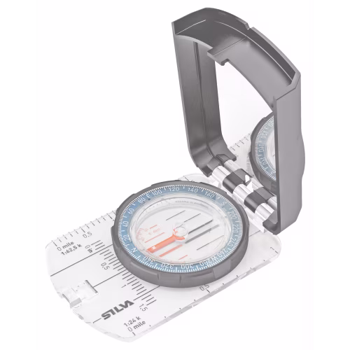
Silva Guide 2.0 Compass
onXmaps HUNT State Maps Micro SD Card

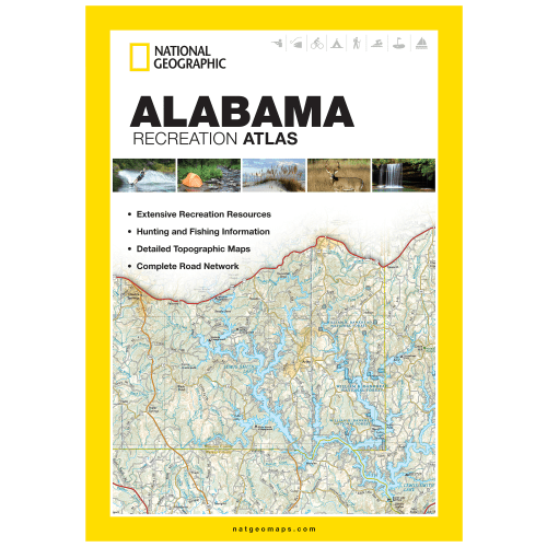
National Geographic State Recreation Atlas

National Geographic Road Atlas: Adventure Edition


National Geographic Large Trail Wall Map in Gift Box


