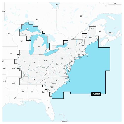
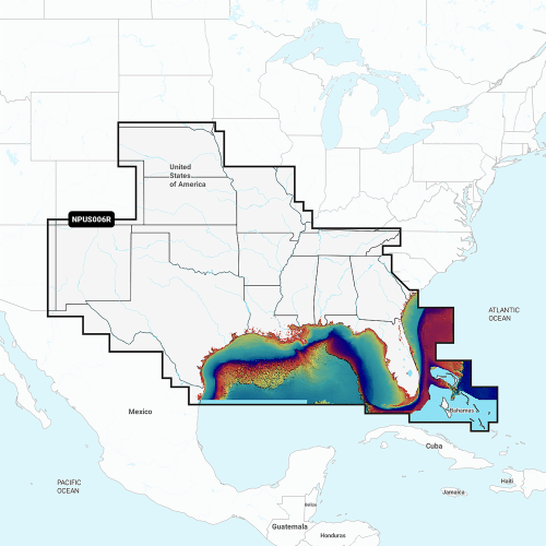
Navionics+ Cartography Chart Card
-
Detail
Gettheworld's#1choiceinmarinemappingbasedon2021reportedsaleswiththebest,mostup-to-dateNavionics®+CartographyChartCardonyourcompatiblechartplotter.Foroffshoreorinlandwaters,thisall-in-1solutionprovidesNavionicscontentwithexceptionalcoverageandclarityinafamiliarlookandfeel.Detail-richintegratedmappingdeliversupto1'(.5m)contoursthankstoSonarChart™HDbathymetrymaps,providingamoredetaileddepictionofbottomstructure.Advanceddock-to-dockrouteguidancetechnologyusesyourboatsettingsalongwithchartdataandfrequentlytraveledroutestocalculateasuggestedpathtofollow.Fishingrangeletsyouhighlightauser-definedtargetdepthrange.Toaidinnavigation,shallow-watershadingadvancedfunctionalityhighlightsdepthsuptoauser-definedlevel.SonarChart™Livemappingallowsboaterstocreatenewpersonal1'high-definitionbathymetrymapsthatdisplayinrealtimeonthescreensoftheircompatibleplotterswhilenavigating.You'llgeteasyaccesstodailychartupdatesviatheNavionicsChartInstallersoftwareorwirelesslyviathePlotterSyncfeaturewiththeNavionicsBoatingapp.(PlotterSyncrequiresanactivesubscriptionofthesamearea.)DownloadtheCommunityEditscontentlayertoanyNavionicscardandviewvaluable,localinformation—contributedbyNavionicsBoatingappusers—onyourcompatiblechartplotter.Includes1yearofcartographyupdates.
- SonarChartHDbathymetrymapswithupto1'(.5m)contours
- Advanceddock-to-dockrouteguidancetechnology
- SonarChartLivereal-timeHDmapcreation
- Selectabletargetdepthrange
- Shallow-watershadingatuser-defineddepth
- Easyaccesstochartupdates
- Notcompatiblewithgarminchartplotters
-
Customer ReviewsNo comments
You May Also Like

Pro Controll Revolution S-Type Freshwater Trolling Motor
Pro Controll Revolution L-Type Trolling Motor
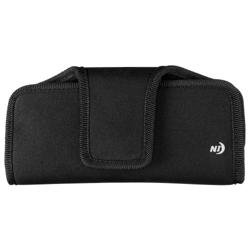
Nite Ize Fits All Holster Phone Cases
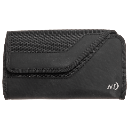
Nite Ize Clip Case Sideways
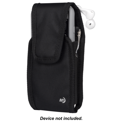
Nite Ize Clip Case Cargo Tall
Navionics Platinum+ Cartography Chart Card
MotorGuide Xi5 Saltwater Trolling Motor with Pinpoint GPS
MotorGuide Xi5 Trolling Motor with Sonar and Pinpoint GPS

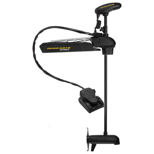
Minn Kota Ultrex Bow Mount Trolling Motor with i-Pilot Link US2
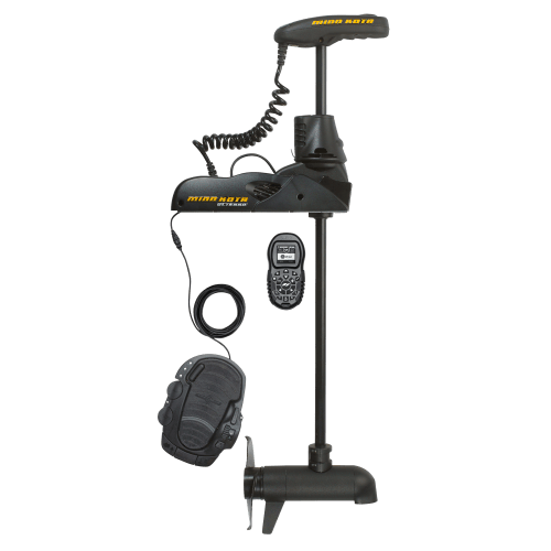
Minn Kota Ulterra Bow Mount Bluetooth Trolling Motor with i-Pilot US2


Minn Kota Riptide Ulterra Bow Mount Bluetooth Trolling Motor with i-Pilot
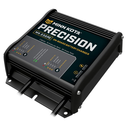
Minn Kota Precision On-Board Marine Battery Chargers