
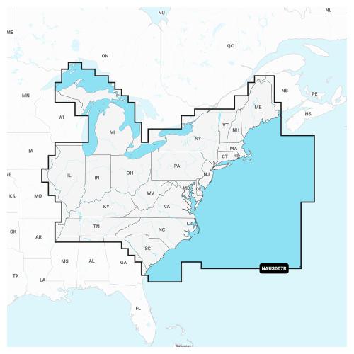
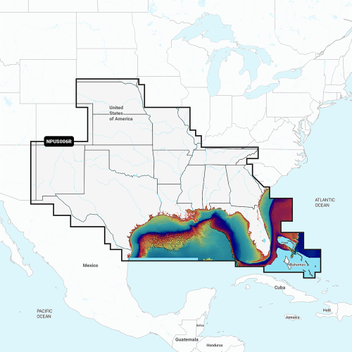
Garmin Navionics Vision+ Cartography Chart Card
-
Detail
Plotyourparadisewiththebest,mostup-to-dateGarmin®Navionics®Vision+™CartographyChartCardonyourcompatibleGarminchartplotter.Foroffshoreorinlandwaters,thispremiummarinecartographycardbringsintegrated,premier-gradeGarminandNavionicscontent,withanupdatedcolorpaletteandNavionics-styleappearance,givingyouexceptionalcoverageandclarity.Detail-richmappingdisplaysupto1'(.5m)contours.High-resolutionreliefshadingcombinescolorandshadowtogiveyouaneasy-to-interpret,clearerviewofbottomstructurethancontourlinesalone.High-resolutionsatelliteimageryoverlaidwithnavigationalchartsgivesyouarealisticviewyoursurroundings,idealforenteringunfamiliarportsorharbors.Sonarimageryrevealsbottomincolor,highlightingsubtleaswellasdramatictransitionareasonselectUSlakes.Unique3DviewssuchasMarinerEyeandFishEyeprovideadditionalperspectiveaboveandbelowthewater.Built-inAutoGuidance+™technologyusesyourdesireddepthandoverheadclearancealongwithchartdataandfrequentlytraveledroutestocalculateasuggestedpathfromdocktodock.Side-scanimagescapturesubmergedfeaturessuchasfallentimber,fishattractors,wrecks,potentialhazards,andmoreonselectUSlakes.Aerialphotographyofports,bridges,docks,navigationallandmarks,andmoreprovidesabettersenseofyoursurroundingsabovethewaterline.Depth-rangeshadingletsyouselectupto10color-shadedoptionsandviewyourtargetdepthsataglance.Shallow-watershadinghighlightsdepthsuptoauser-definedlevel.TheActiveCaptain®appprovideseasyaccesstodailychartupdates,downloadableNOAArastercartography,andcommunitycontentwithvaluablepointsofinterest,recommendations,andadvicefromboaterswithfirsthandexperienceofthelocalenvironment.Includes1yearofcartographyupdates.
- Detail-richmappingwithupto1'(.5m)high-definitioncontours
- Downloadablehigh-resolutionreliefshading
- Downloadablehigh-resolutionsatelliteimagery
- Downloadablesonarimagery
- Unique3DviewsincludingMarinerEyeandFishEye
- AutoGuidance+technology
- Side-scanimagesonselectUSlakes
- Aerialphotographyofports,bridges,docks,navigationallandmarks,andmore
- Depth-rangeshading
- Shallow-wateruser-defineddepthshading
- ActiveCaptainappaccessfortonsofadditionalcontent
- 1yearofcartographyupdates
-
Customer ReviewsNo comments
You May Also Like

Pro Controll Revolution S-Type Freshwater Trolling Motor
Pro Controll Revolution L-Type Trolling Motor
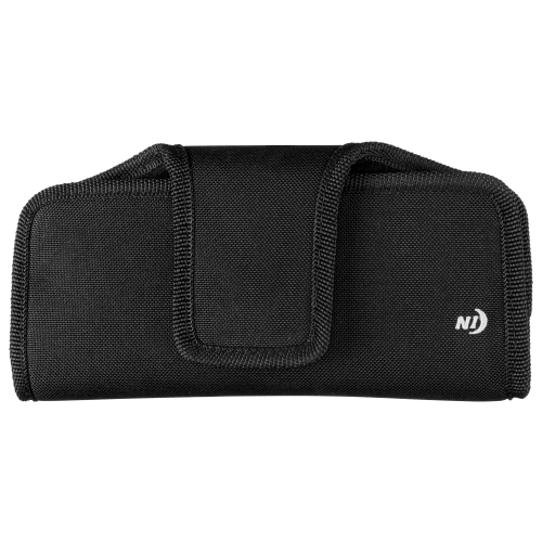
Nite Ize Fits All Holster Phone Cases
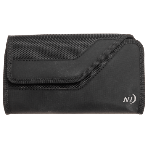
Nite Ize Clip Case Sideways
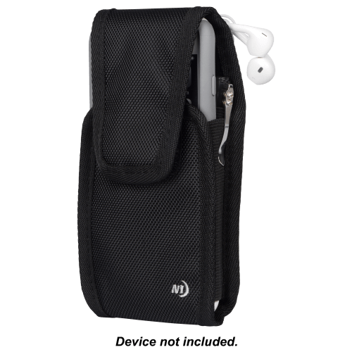
Nite Ize Clip Case Cargo Tall
Navionics+ Cartography Chart Card
Navionics Platinum+ Cartography Chart Card
MotorGuide Xi5 Saltwater Trolling Motor with Pinpoint GPS
MotorGuide Xi5 Trolling Motor with Sonar and Pinpoint GPS

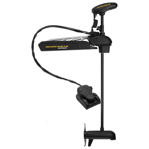
Minn Kota Ultrex Bow Mount Trolling Motor with i-Pilot Link US2
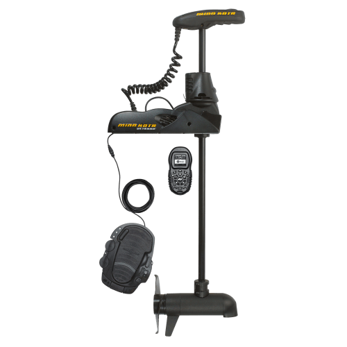
Minn Kota Ulterra Bow Mount Bluetooth Trolling Motor with i-Pilot US2


Minn Kota Riptide Ulterra Bow Mount Bluetooth Trolling Motor with i-Pilot
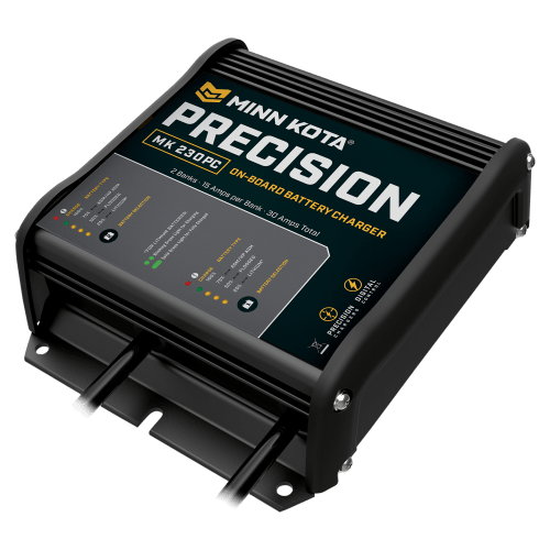
Minn Kota Precision On-Board Marine Battery Chargers