
Garmin Navionics Platinum+ Marine Cartography Charts Card for Chartplotters
-
Detail
Garmin®NavionicsPlatinum+™MarineCartographyChartsCardforChartplottersincludeallthecontentofNavionics®+cartography,withintegratedoffshoreandinlandmapping,thousandsofadditionallakes,andmoreviewingoptionsforreliefshading,satelliteimagerywithSonarChartShadingOverlay,3Dperspectiveview,aerialphotos,andmore.Comprehensivenauticalchartsderivefrommultipleofficial,government,andprivatesources,displayedinafamiliarlookandfeel.Innovative.5mbathymetrychartsutilizeNavionicsproprietarysystemsthataugmentexistingcontentwithcommunitysonardatacontributions.CommunityeditsgiveyouusefullocalknowledgefromotherusersoftheNavionicsBoatingapponyourcompatiblesmartdevice.Dock-to-dockrouteguidanceletsyoustartyourtripwithasuggestedpathforeasiernavigation.PlotterSynctransfersroutesandmarkers,updateschartlayers,andmore,betweenyourcompatiblechartplotterandtheBoatingapp.Reliefshadinginselectionlocationsprovidesaeasy-to-interpretviewofbottomstructure.SatelliteimagerywithSonarChartShadingOverlayinselectlocationsgivesyouenhancedawarenessaboveandbelowthewaterline.3DViewletsyouadjusttheperspectiveofyourchartviewtohighlightkeyfeaturesandenhanceawareness,whileaerialimagerygiveyouabettersenseofyoursurroundings.Includes1-yearsubscriptiontodailyupdatesandadvancedfeatures.
- Thousandsoflakes
- Comprehensivenauticalchartswithofficial,government,andprivatedata
- .5mbathymetrycharts
- Communityedits
- Dock-to-dockrouteguidance
- PlotterSync:transfersdatafromchartptlottertoyourBoatingapp
- Reliefshading
- SatelliteimagerywithSonarChartShadingOverlay
- 3DView
-
Customer ReviewsNo comments
You May Also Like

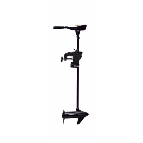
Pro Controll Revolution L-Type Trolling Motor
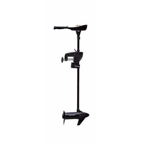
Pro Controll Revolution S-Type Freshwater Trolling Motor
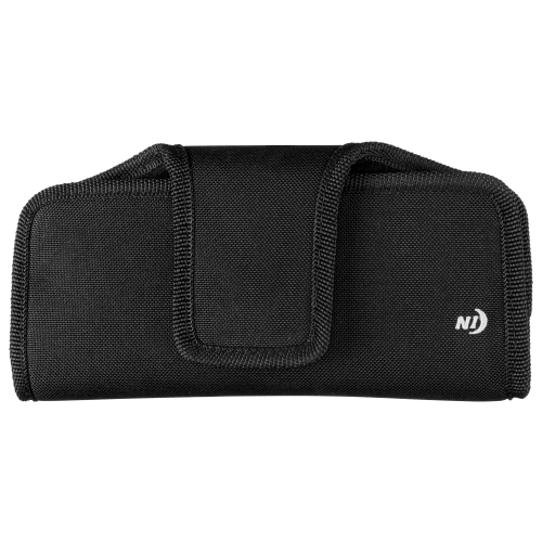
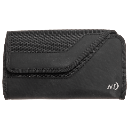
Nite Ize Fits All Holster Phone Cases
Nite Ize Clip Case Sideways
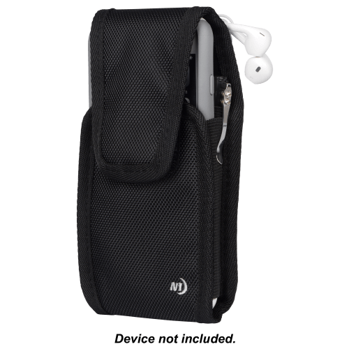
Nite Ize Clip Case Cargo Tall
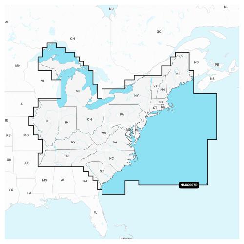
Navionics+ Cartography Chart Card
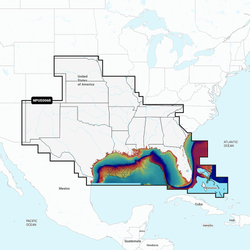
Navionics Platinum+ Cartography Chart Card
MotorGuide Xi5 Saltwater Trolling Motor with Pinpoint GPS
MotorGuide Xi5 Trolling Motor with Sonar and Pinpoint GPS
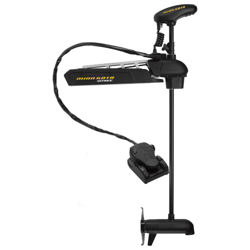
Minn Kota Ultrex Bow Mount Trolling Motor with i-Pilot Link US2

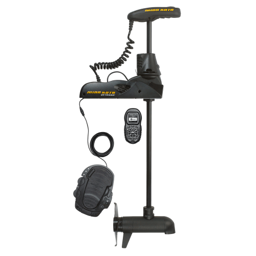
Minn Kota Ulterra Bow Mount Bluetooth Trolling Motor with i-Pilot US2


Minn Kota Riptide Ulterra Bow Mount Bluetooth Trolling Motor with i-Pilot
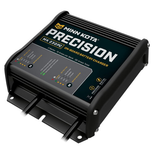
Minn Kota Precision On-Board Marine Battery Chargers